McNeil Point Hike
The ideal late spring hike for those who like to tackle a challenge

McNeil Point Hike
OVERVIEW
A difficult hike with huge views, wildflower meadows, natural springs, a stone shelter and a front row view of Mount Hood from 6,920’ on Cathedral Ridge.
ADDRESS
Top Spur Trailhead
Mt. Hood National Forest, OR 97041
30 minutes from Mt. Hood Alpine Chalet
FIELD NOTES + INSIDER TIPS
Level: Difficult | 11.27 Miles | 3,412’ Gain | 6,922’ Elevation
There is beauty in the struggle of hiking. The trek to McNeil Point will show you why. Hold on, make the destination Ho Rock, because the final .6 miles up to this perch will add another 900 feet to your day. We thought it sounded like the perfect way to spend our eighth anniversary together. Maybe we have a problem?
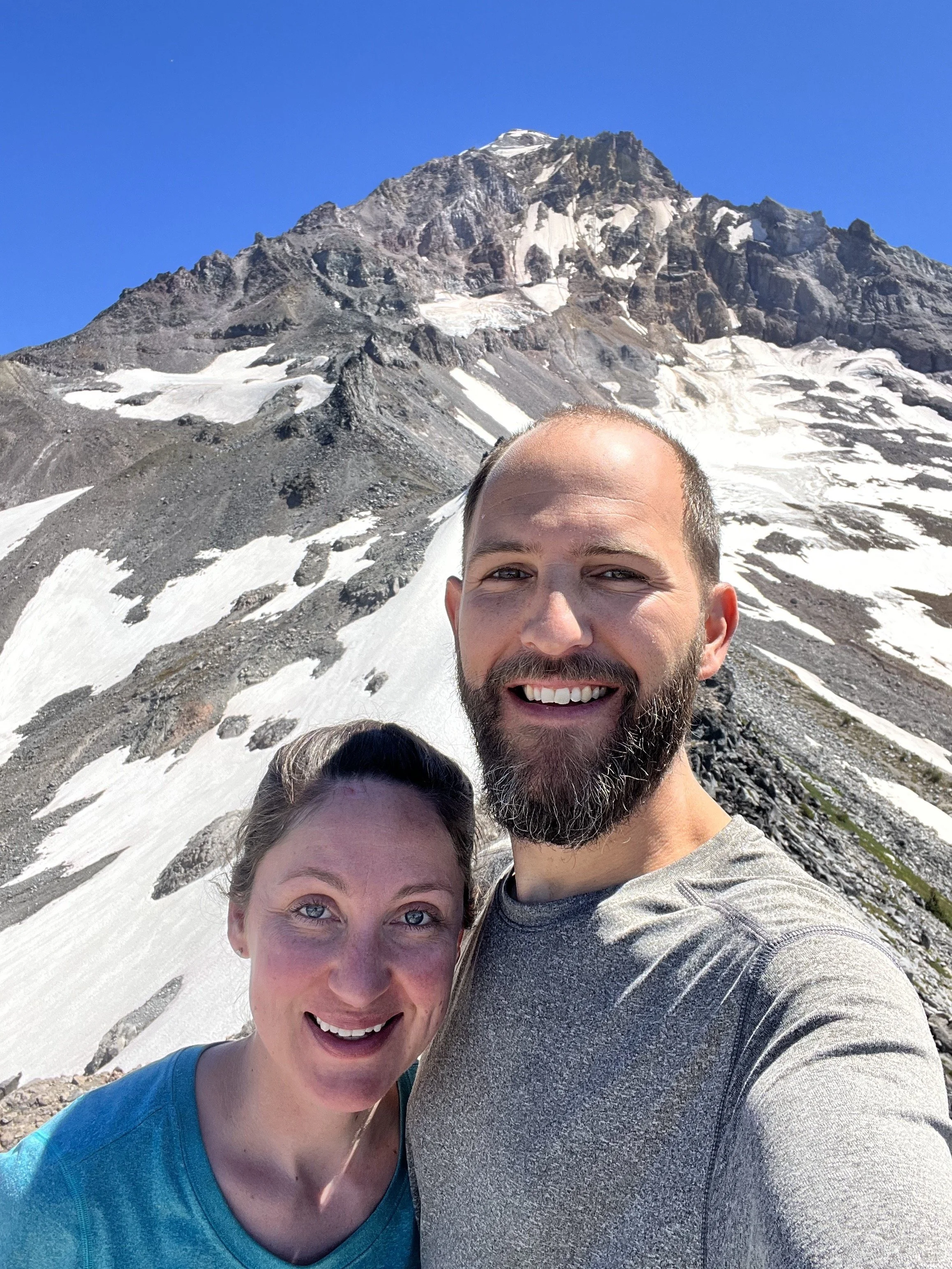
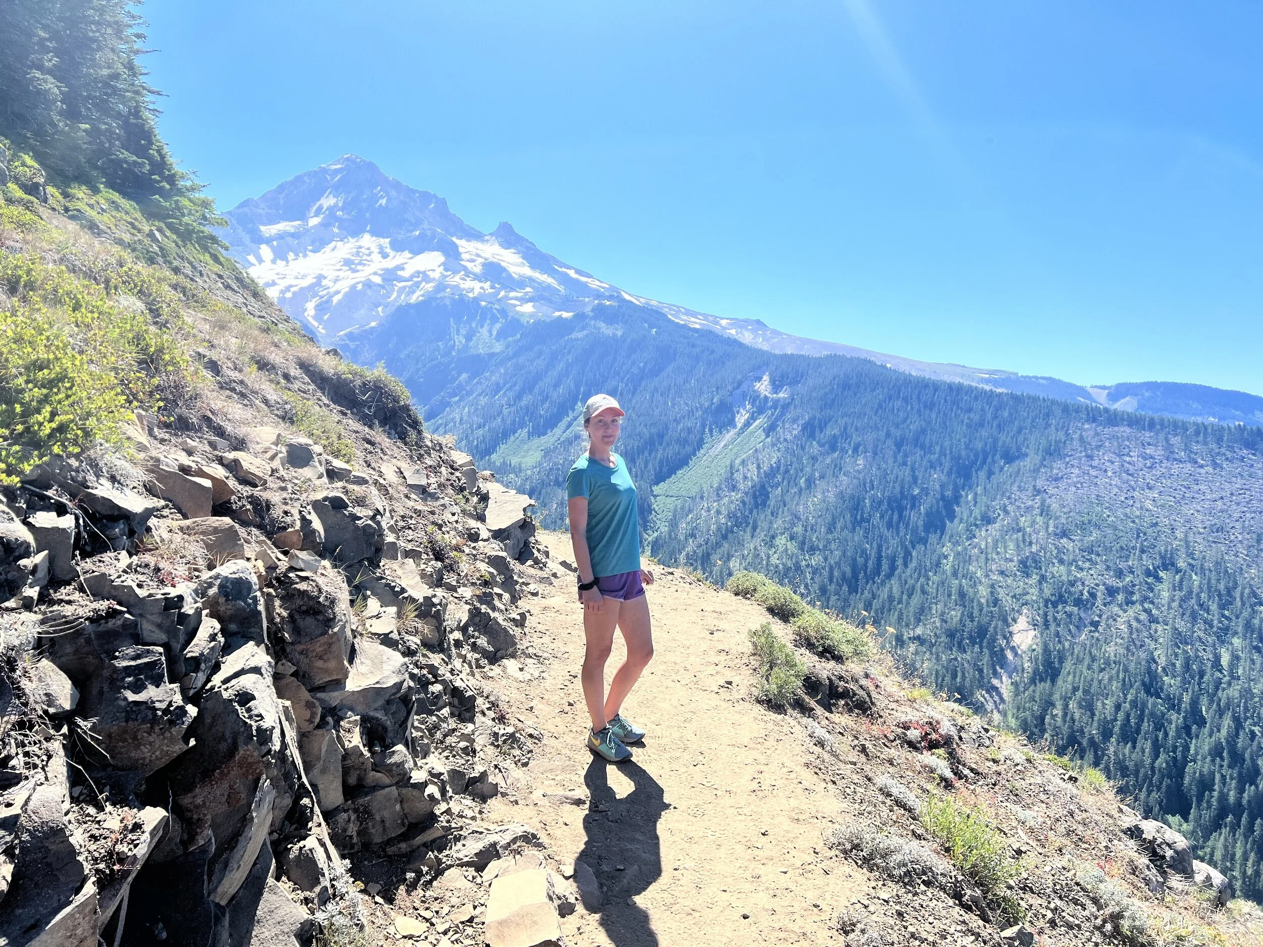
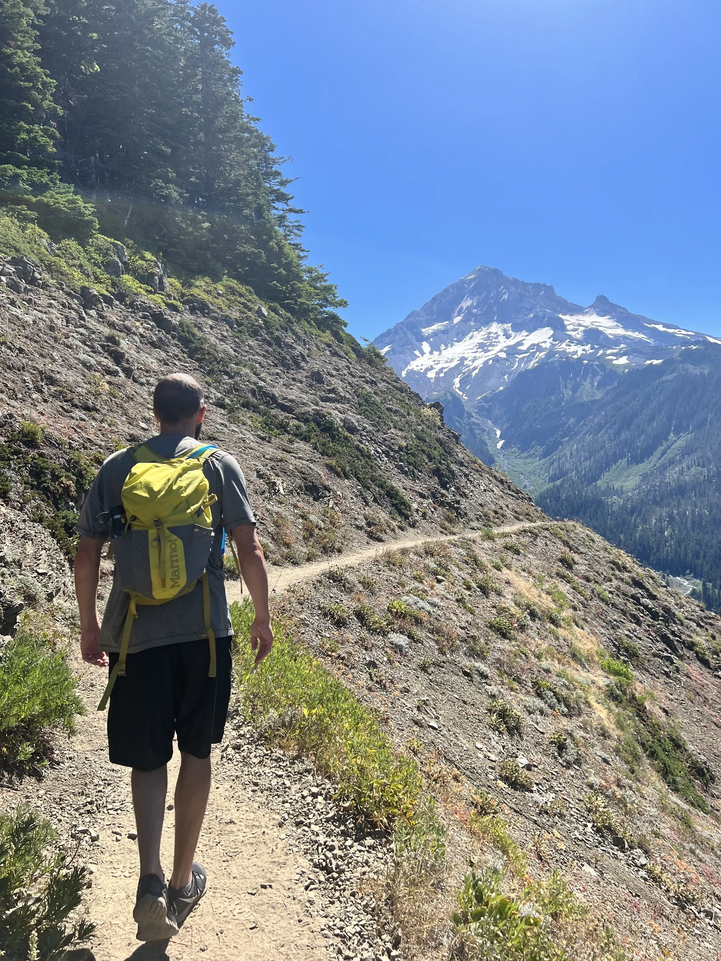
There is a big payoff here though: a front row seat along Cathedral Ridge looking up at Mount Hood in all its majesty. You’ll hardly believe you’re only halfway to the summit. That thought won’t drag you down though because almost every turn on the way up provides photo-worthy highlights. Just a mile out of the gate you’ll get your first glimpse of what we mean.
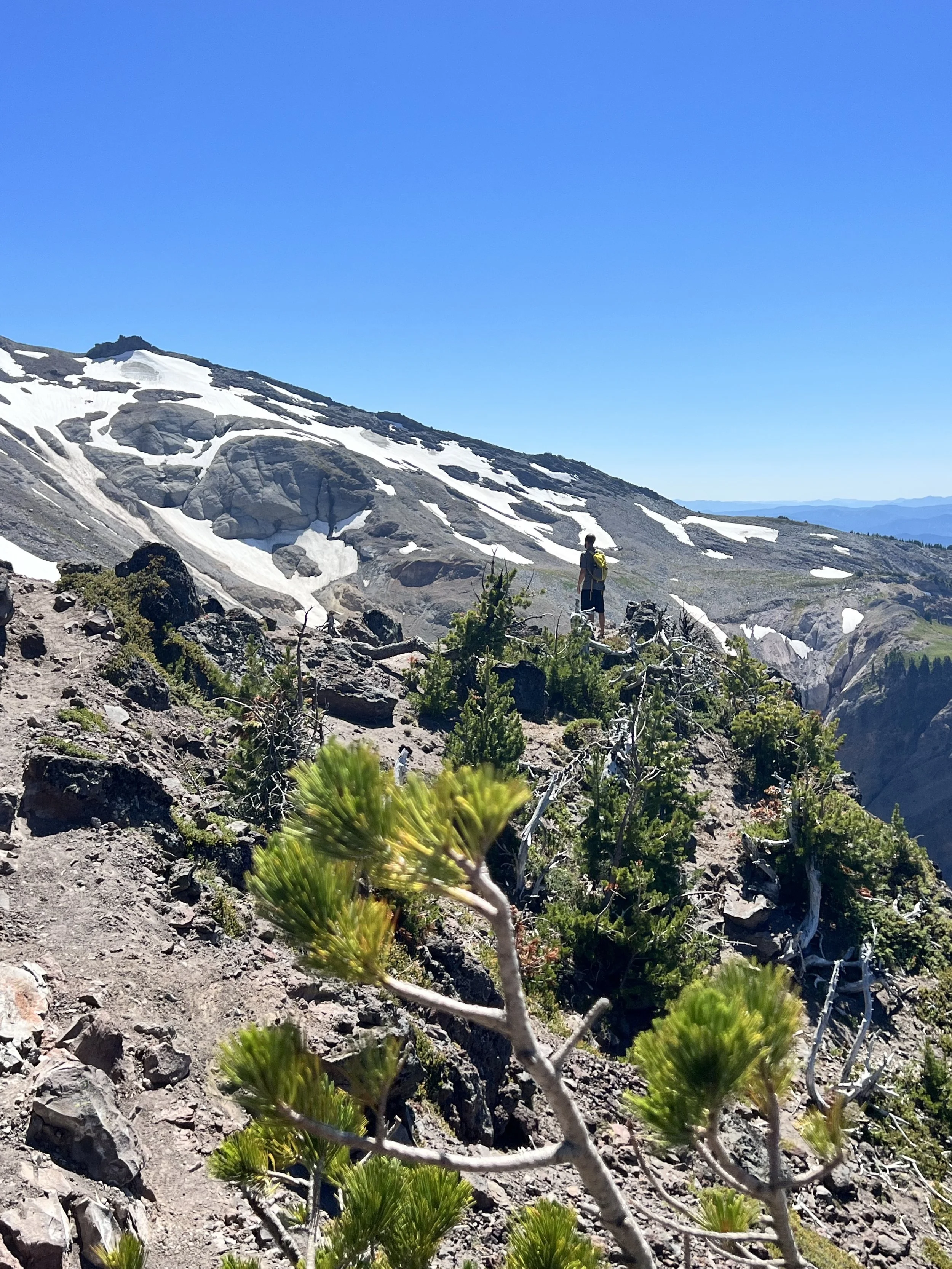
Timberline traverse of Bald Mountain
Now, instead of rehashing the boring yet necessary details of our route, we’ve decided to link you to our preferred hiking website: Oregon Hikers. It’s always good to have a physical map on hand, but we managed with a few screen grabs and a full battery. Just don’t tell our moms.
Another safety note: large snowfields often make this trail impassable through June. You can check conditions online or at the Zigzag Ranger Ranger Station, which is also where you can buy a pass for parking at trailheads in the Mt. Hood National Forest. Either a NW Forest Pass or America the Beautiful Pass will cover you.
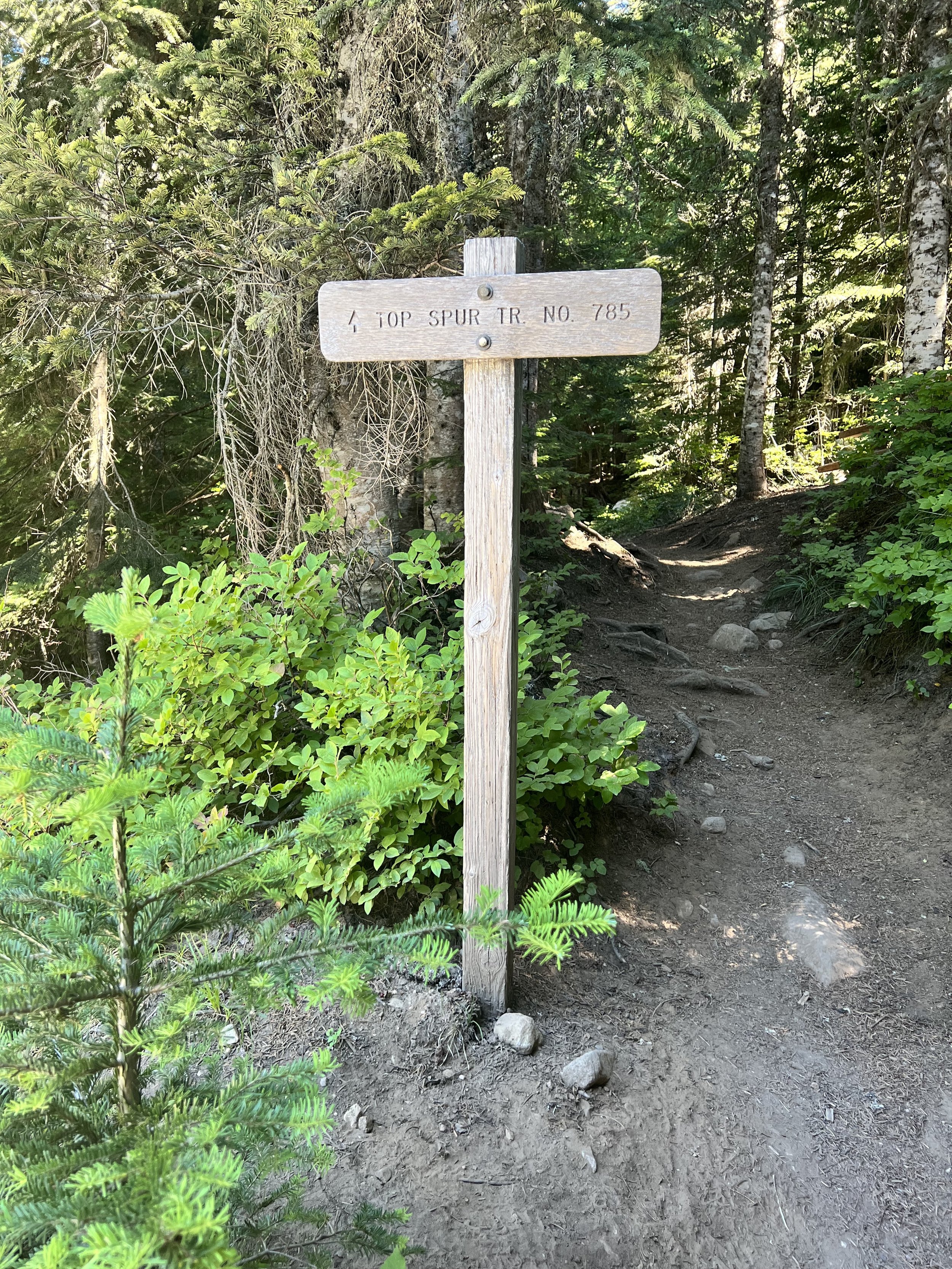
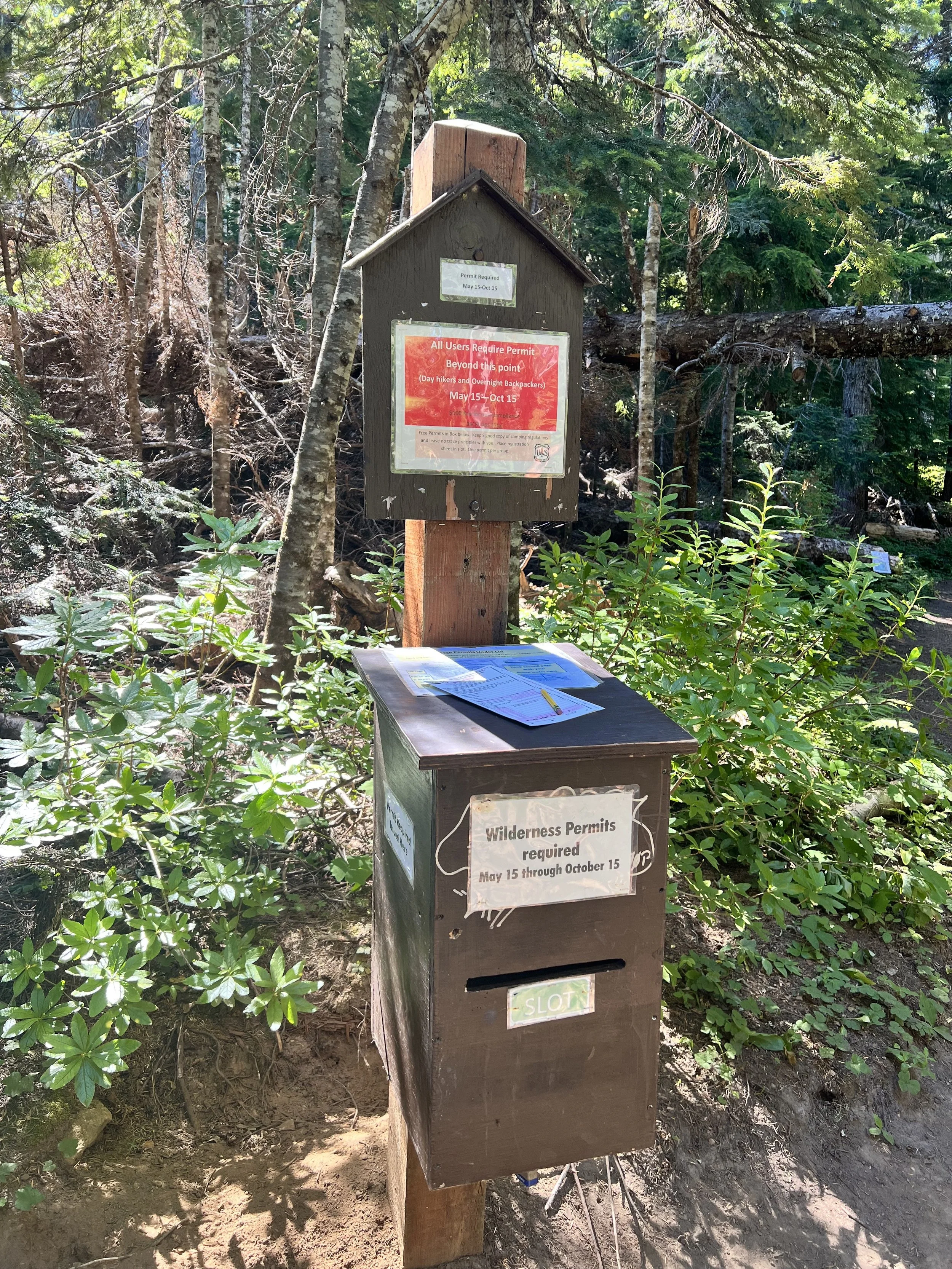
With that info out of the way, it’s time to head to the Top Spur Trailhead. From here, follow the well-worn and root-bound trail up into a stunning old-growth noble fir forest. A little over a half-mile in you will land at a junction of four trails where you’ll have to fill out a free wilderness permit and place your info into the portal. Don’t worry, your info is only used for your own safety.
Now, onward! You’ll pass through a forest and onto sweeping valley views of the Sandy River (yes, the same one that passes near the Alpine Chalet). Curving around Bald Mountain, you’ll also arrive at the first vista of Mount Hood — a great spot to snack. Maybe you can even make a guess where you might end up on the slopes of Mount Hood? Hint: we’ll show you at the end of the post.
Back on the trail, we dipped into the trees for a good stint, reconnected back to the other leg of the Timberline Trail and eventually hit a ridge upward. We poked out into meadows with ample seating on our right. This is where normal people pause for lunch. We opted to chase the butterflies that were dancing up the trail instead.
Crystal-clear, glacial mountain streams at almost every turn. The water cascaded through folds in the fields and over a wall of moss covered rocks. Our pace slowed. Then, we hit a kaleidoscope meadow that provided more varieties of wildflowers than we’d ever seen in a single place. Just steps further, we meandered between what was left of the McNeil Ponds after a hot July.
Making it to McNeil Point
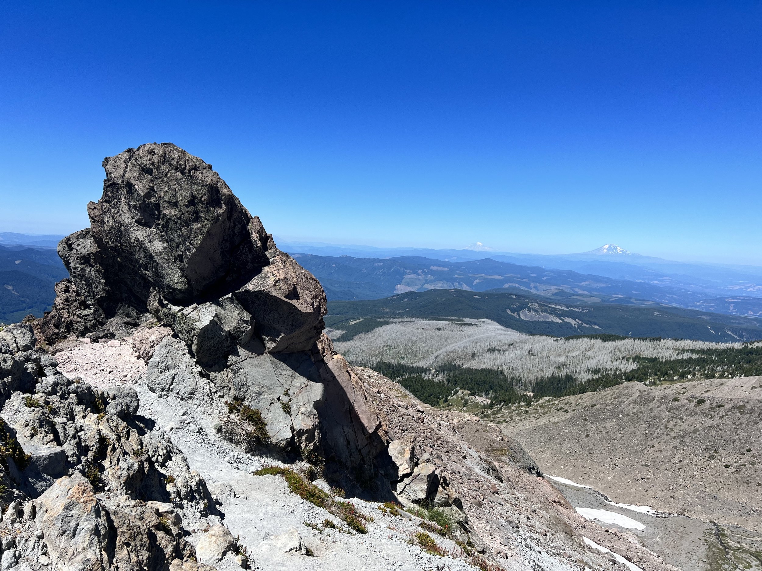
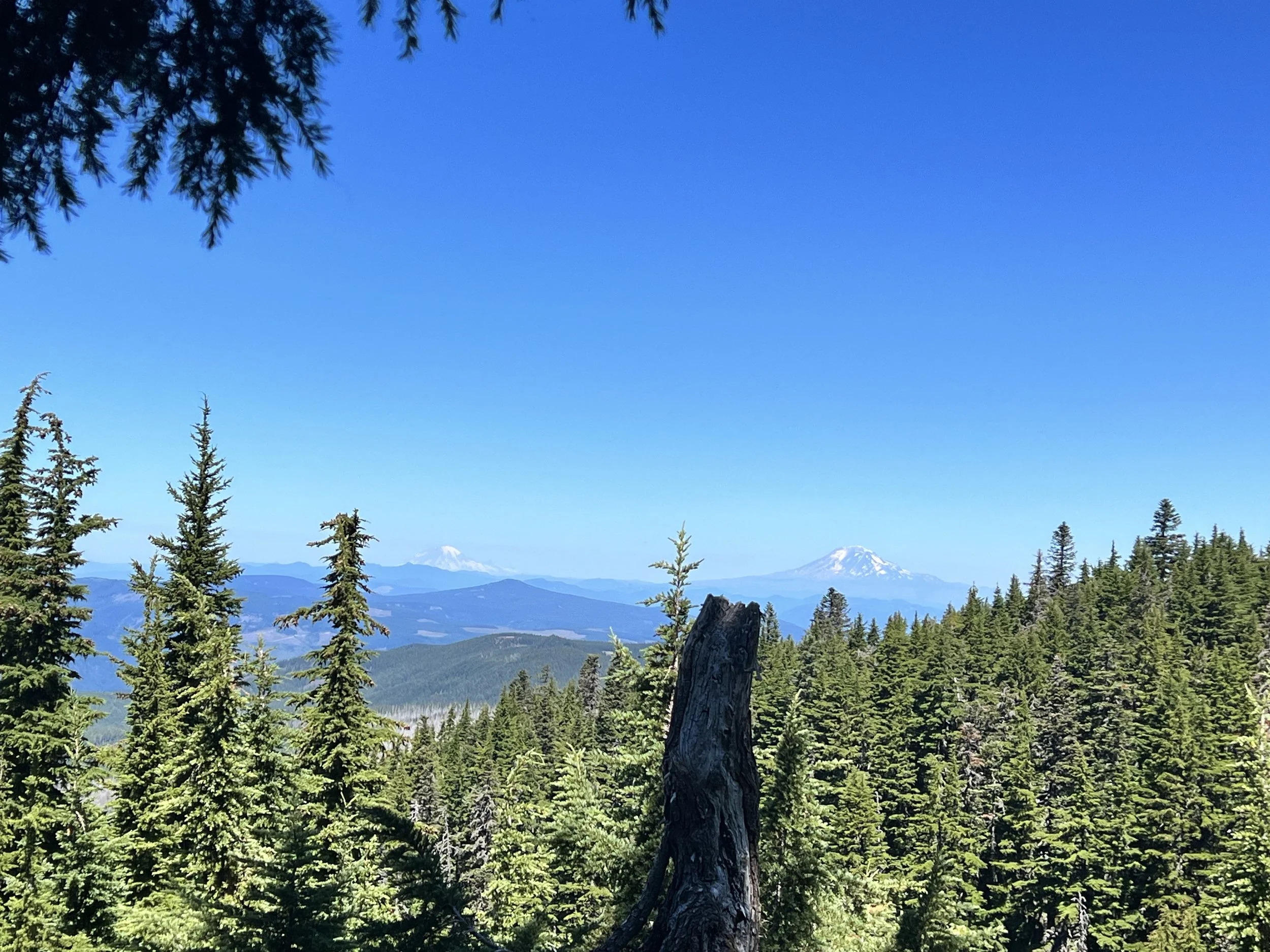
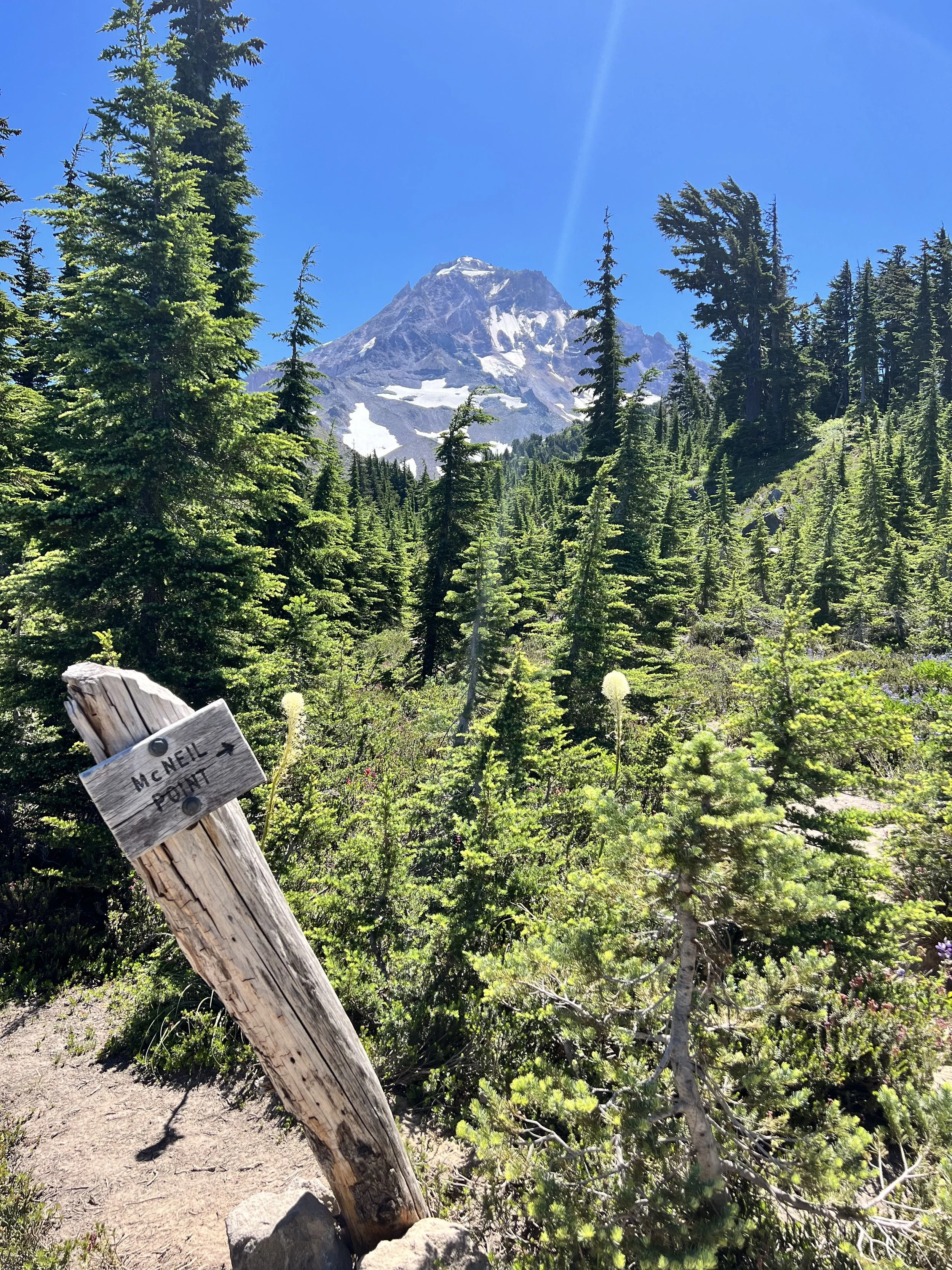
Soon, we saw the Mazama Trail tie in from our left, and soon we spotted the neighboring Cascade Mountain peaks of Adams and Ranier to the north. Passing another couple of springs, we approached a crooked sign reading "McNeil Point" with an arrow pointing into the sky. It was indeed a sign.

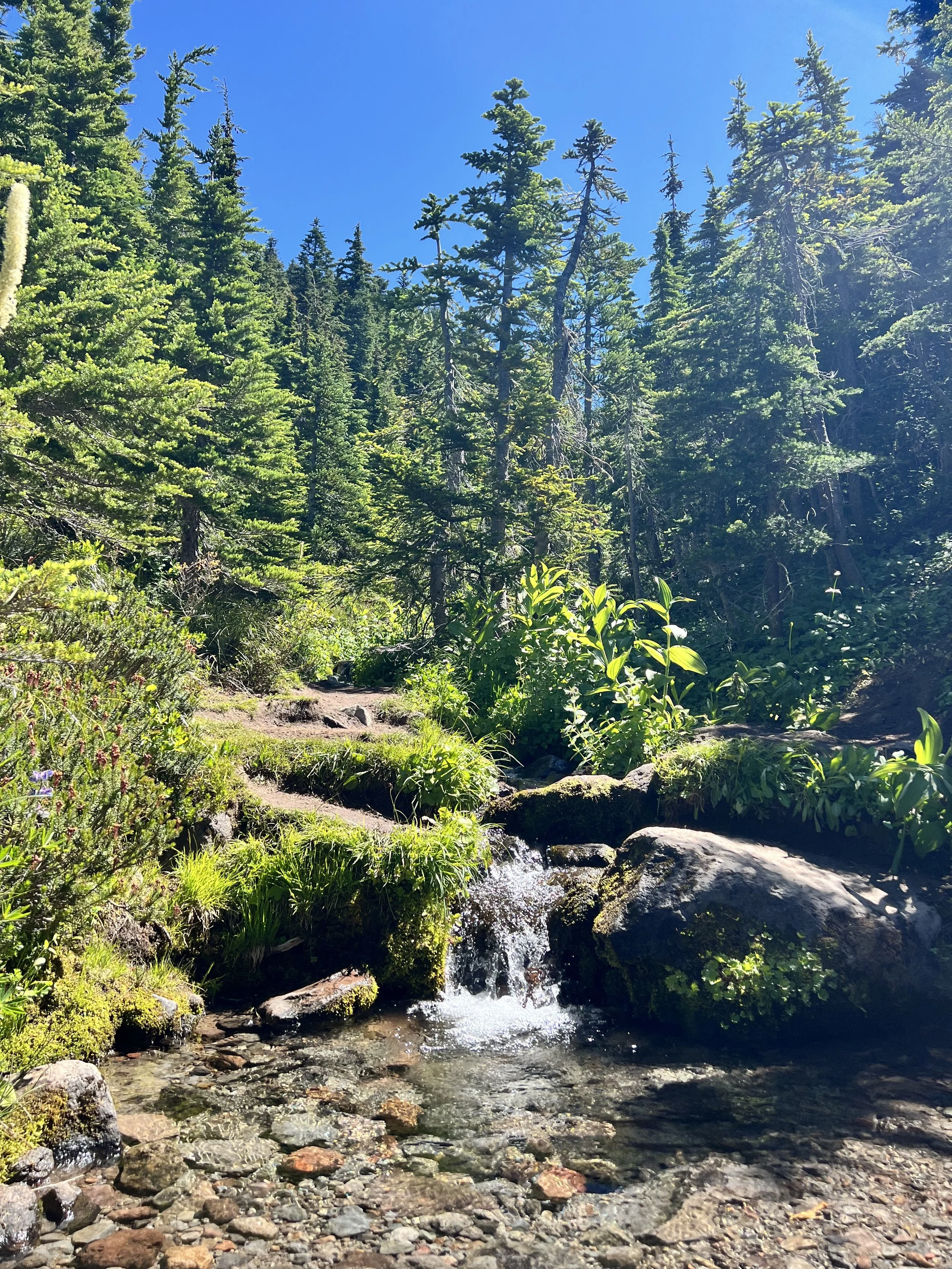
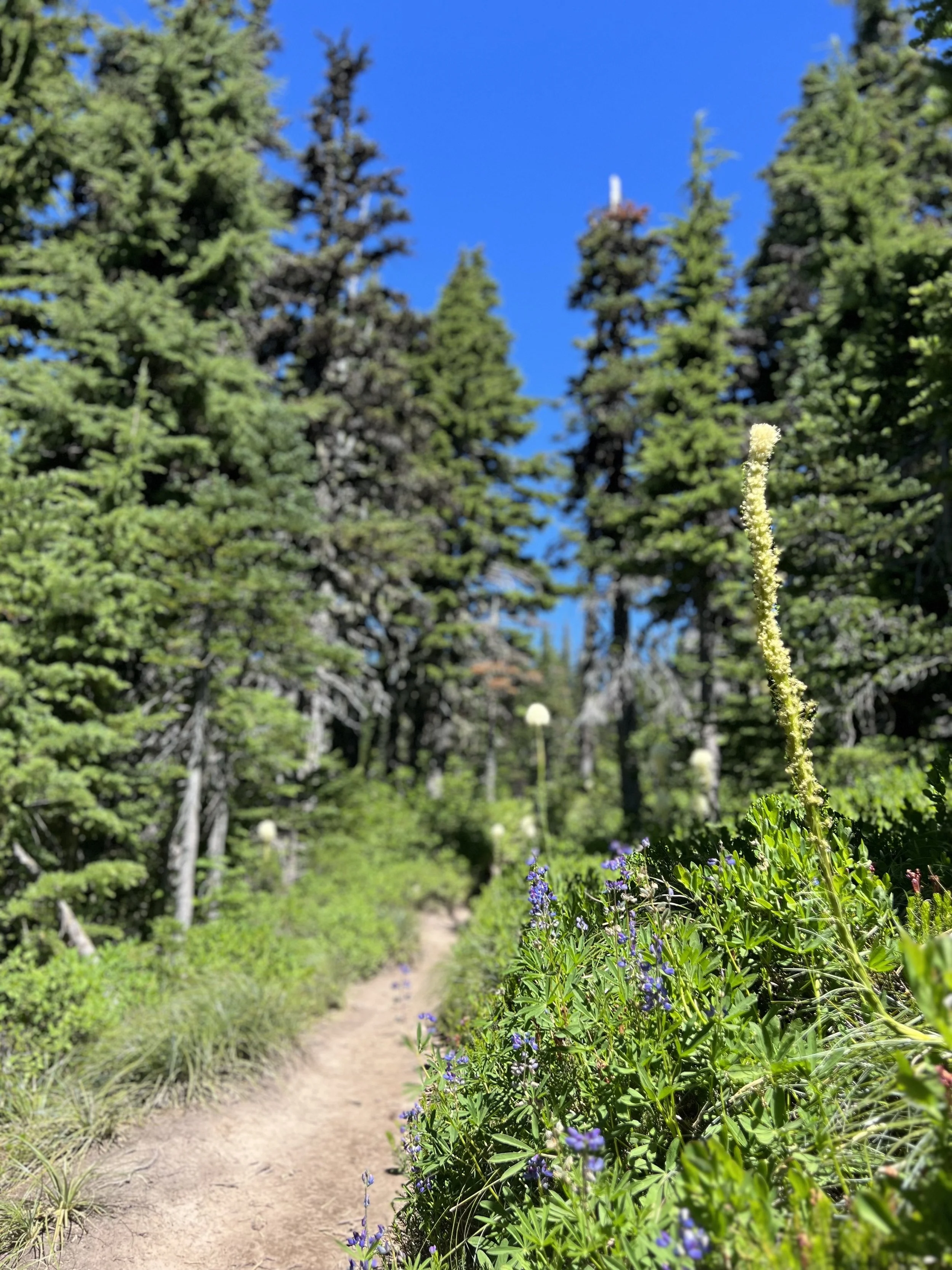
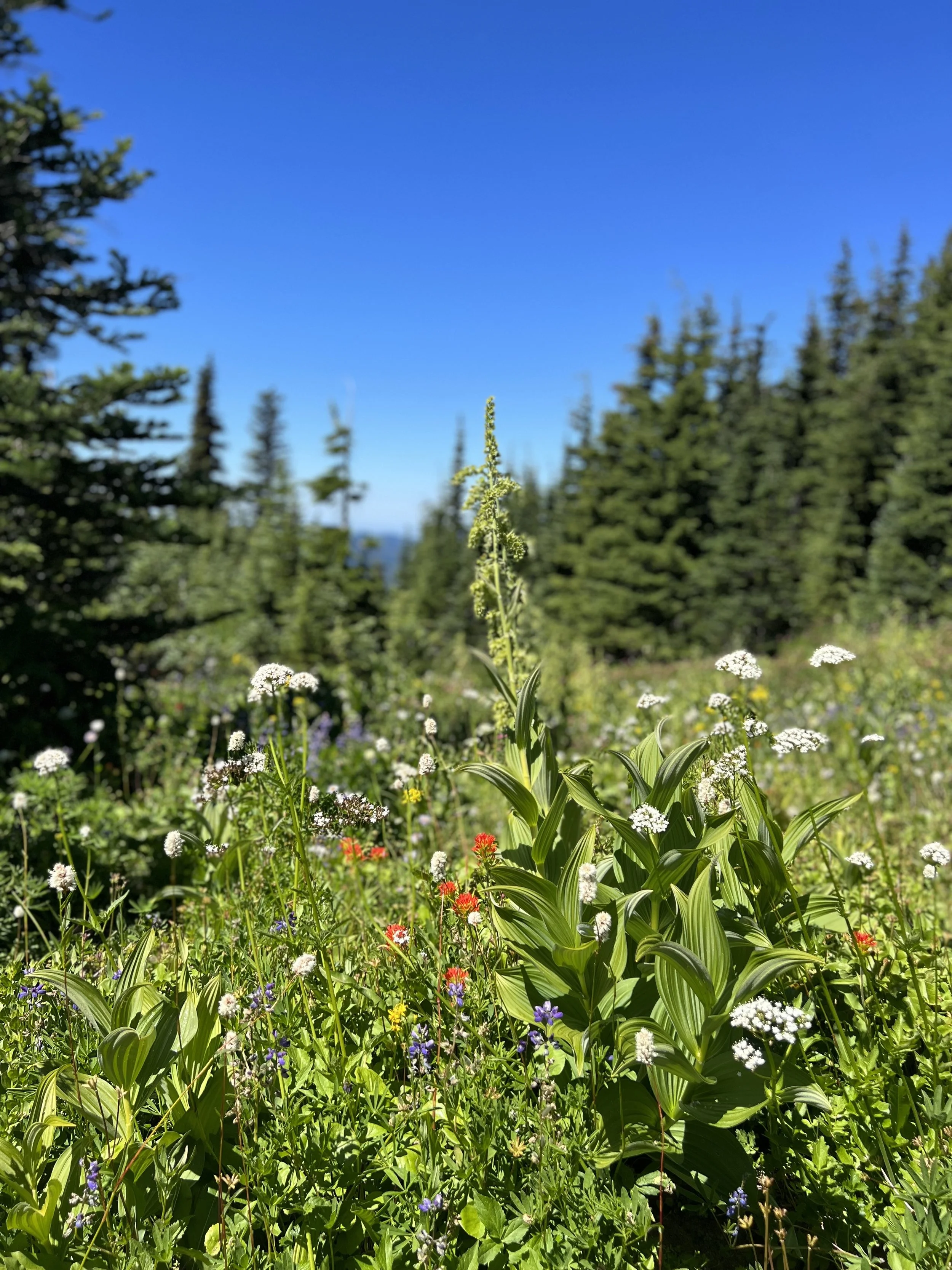
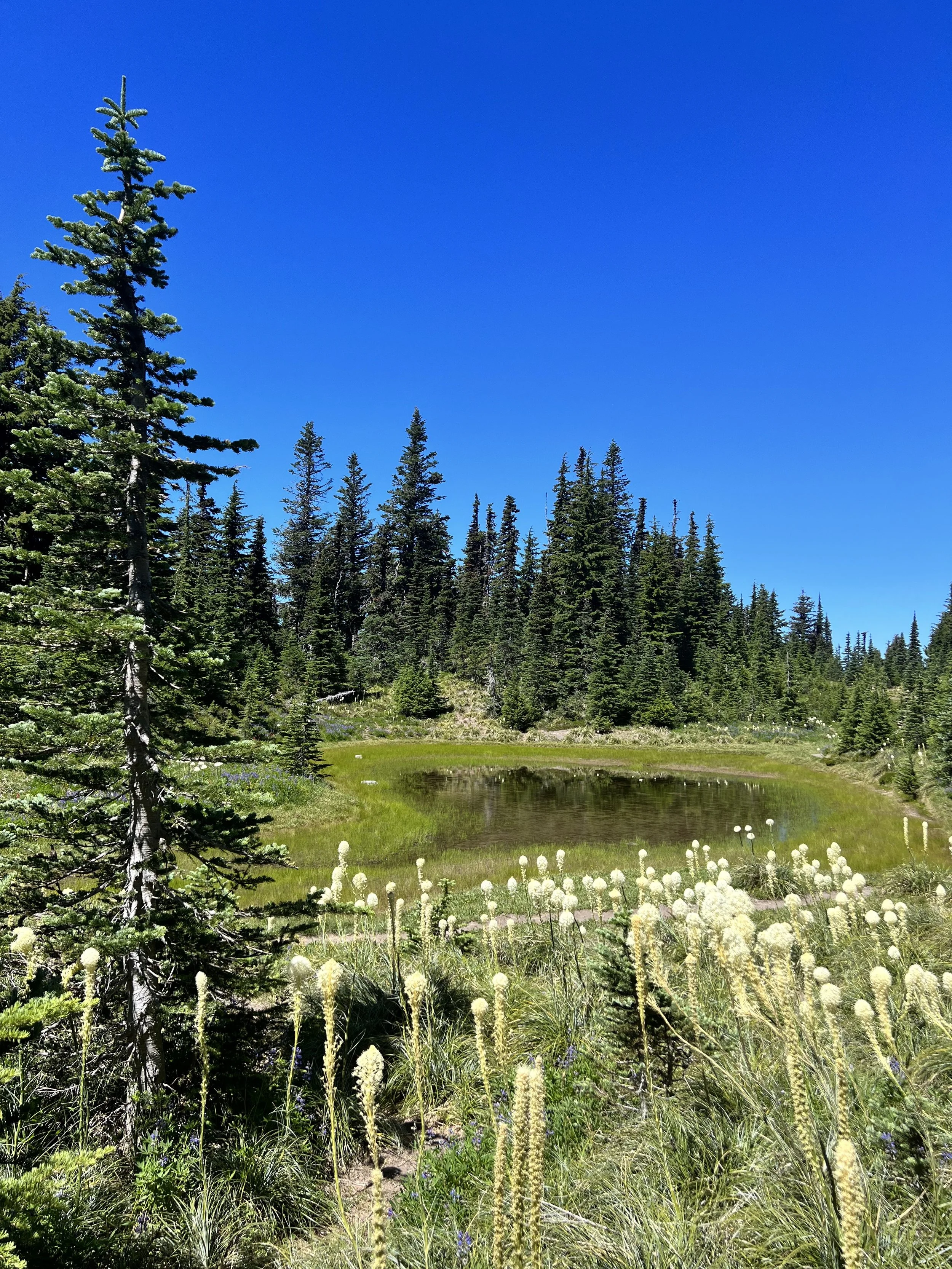
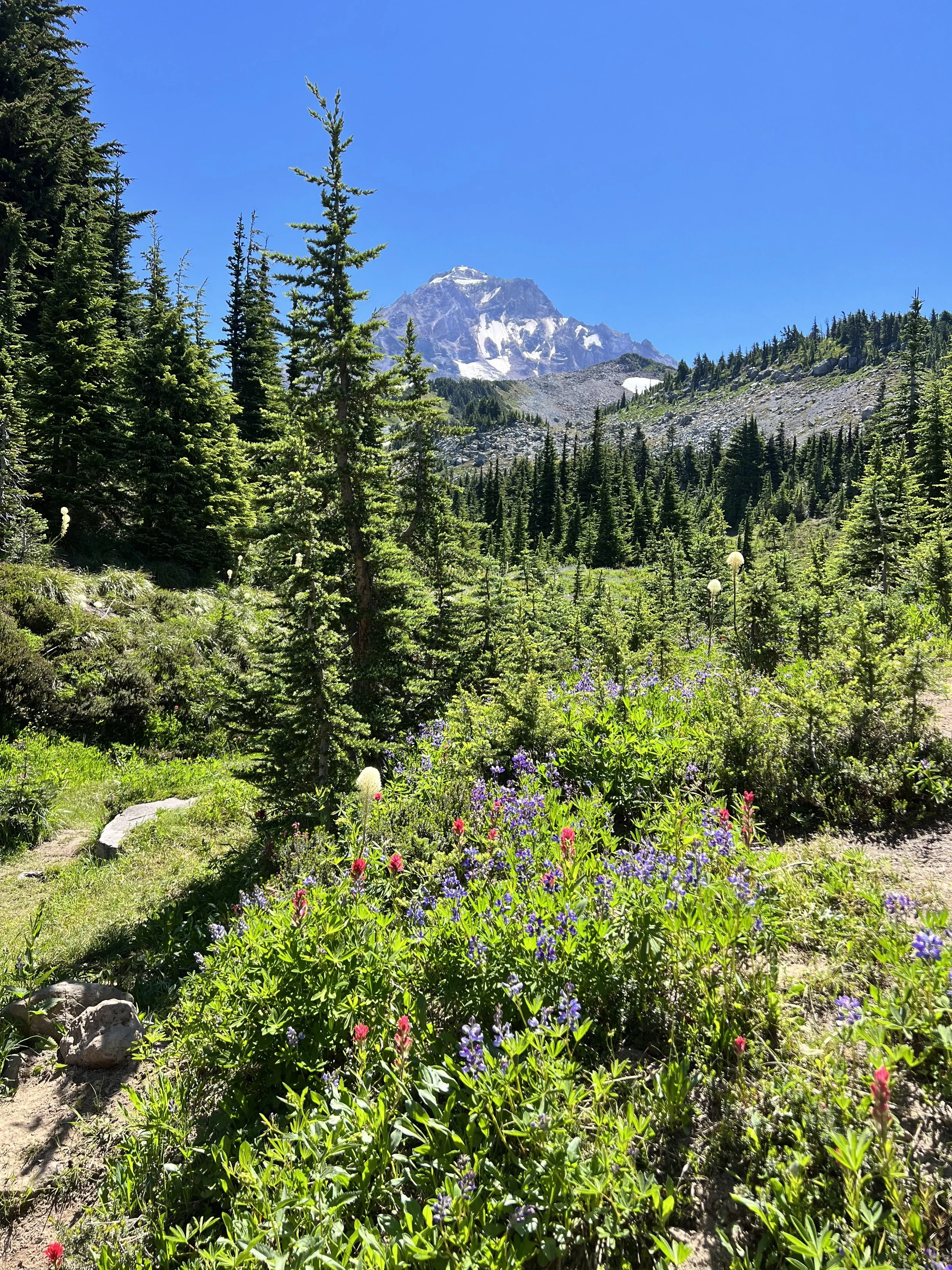
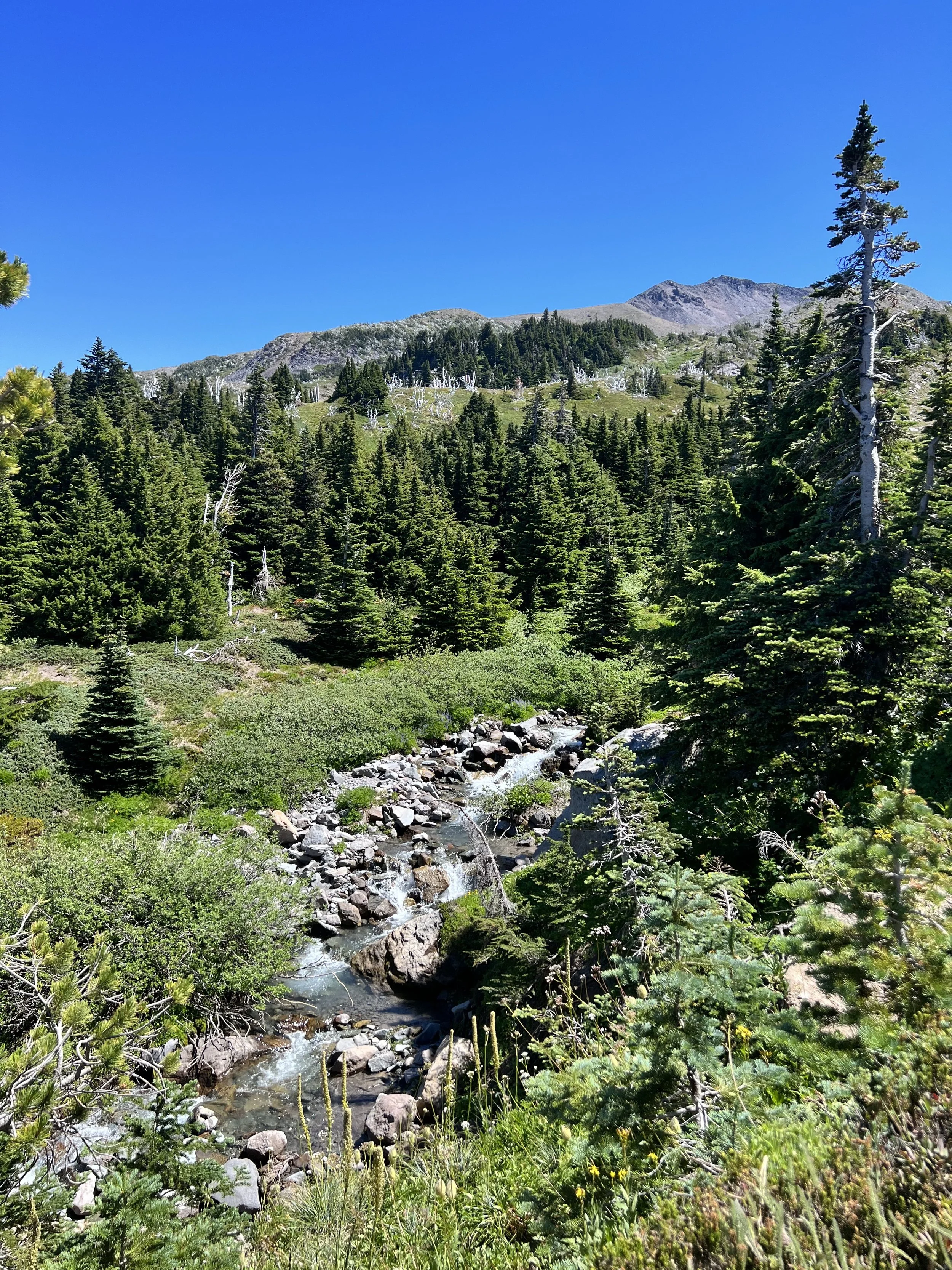
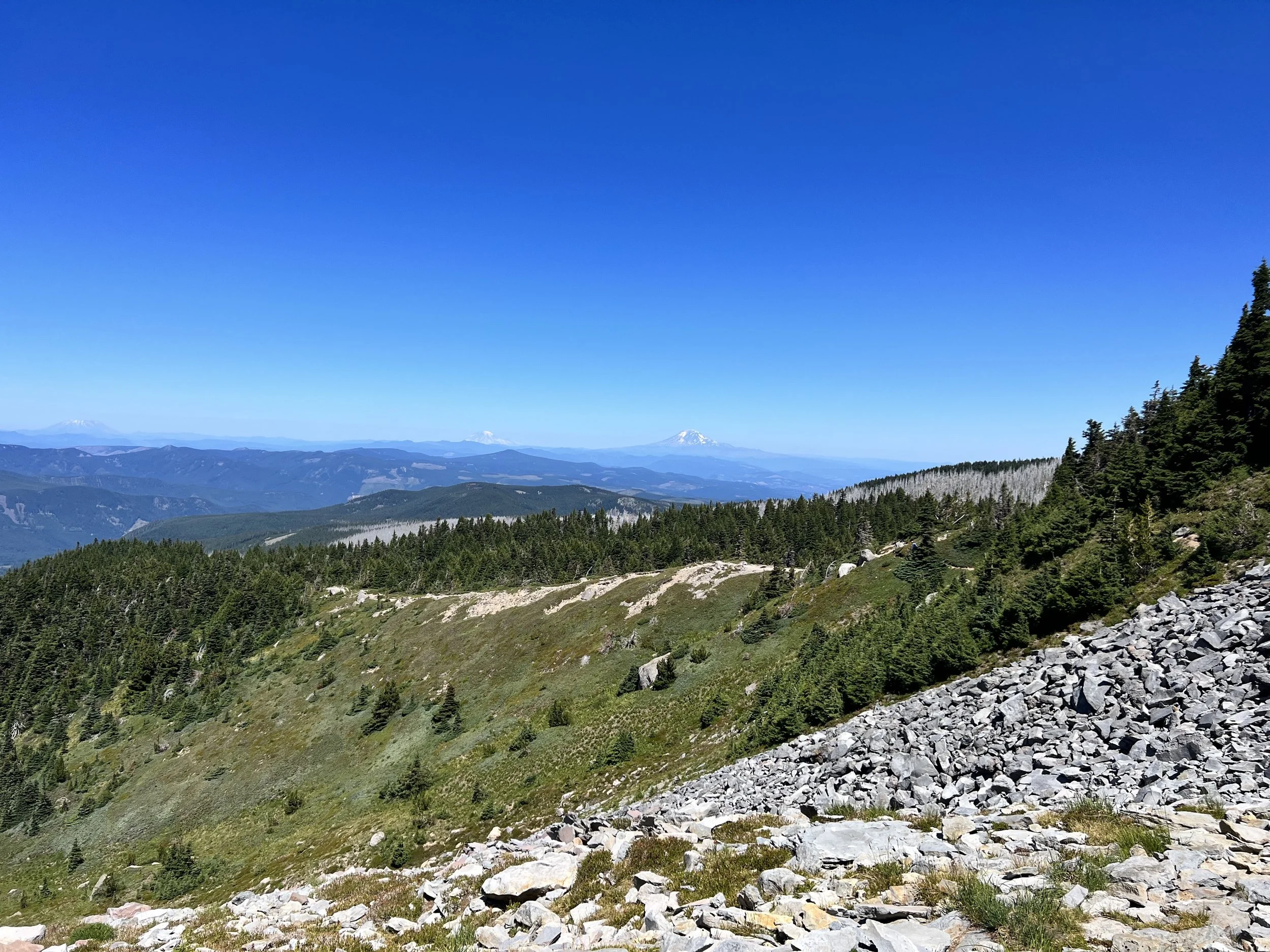
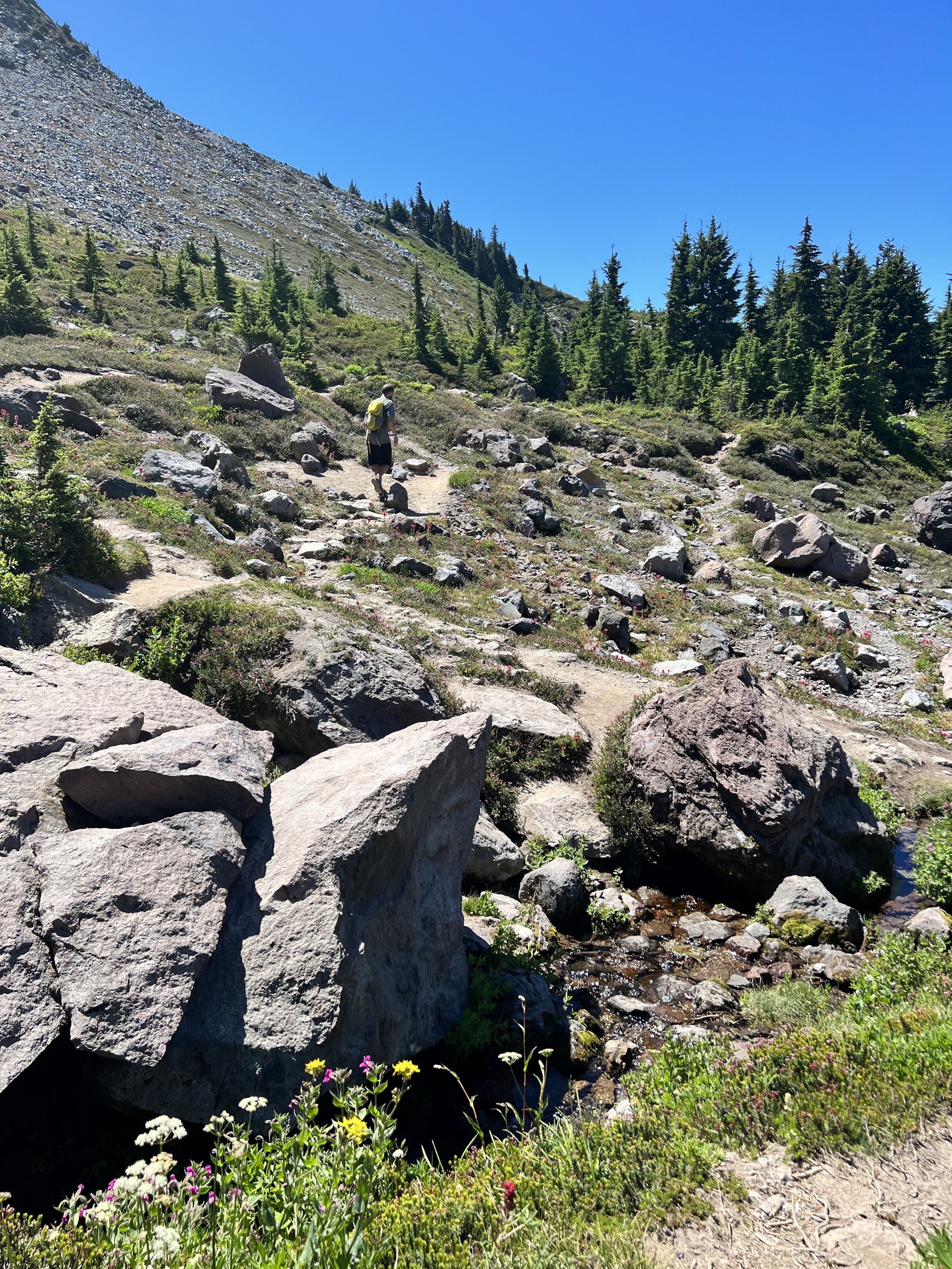

The trail braided and wove through trees in ways that made us think it might just end. Somehow it found its way, leading us through tree tunnels, zigs and zags. Glisan Creek provided a rushing background through this leg of the hike until we veered right across a scree field, hooking back into a stand of mountain hemlock and across another creek. From here, we followed an angled incline up a hillside to reach the plateau of McNeil Point. Although, we didn’t totally realize we had arrived.
We looked left and saw a line of hikers heading down, so we figured the end was still ahead. This was in fact the long, dusty, treacherous stairway to Cathedral Ridge and the iconic Ho Rock. We trudged up slowly, using every root and solid rock for footing along the way. Eventually the dust became rock and the pitch leveled off. We wrapped around rock outcroppings to our long-awaited lunch spot at the tip of the ridge.
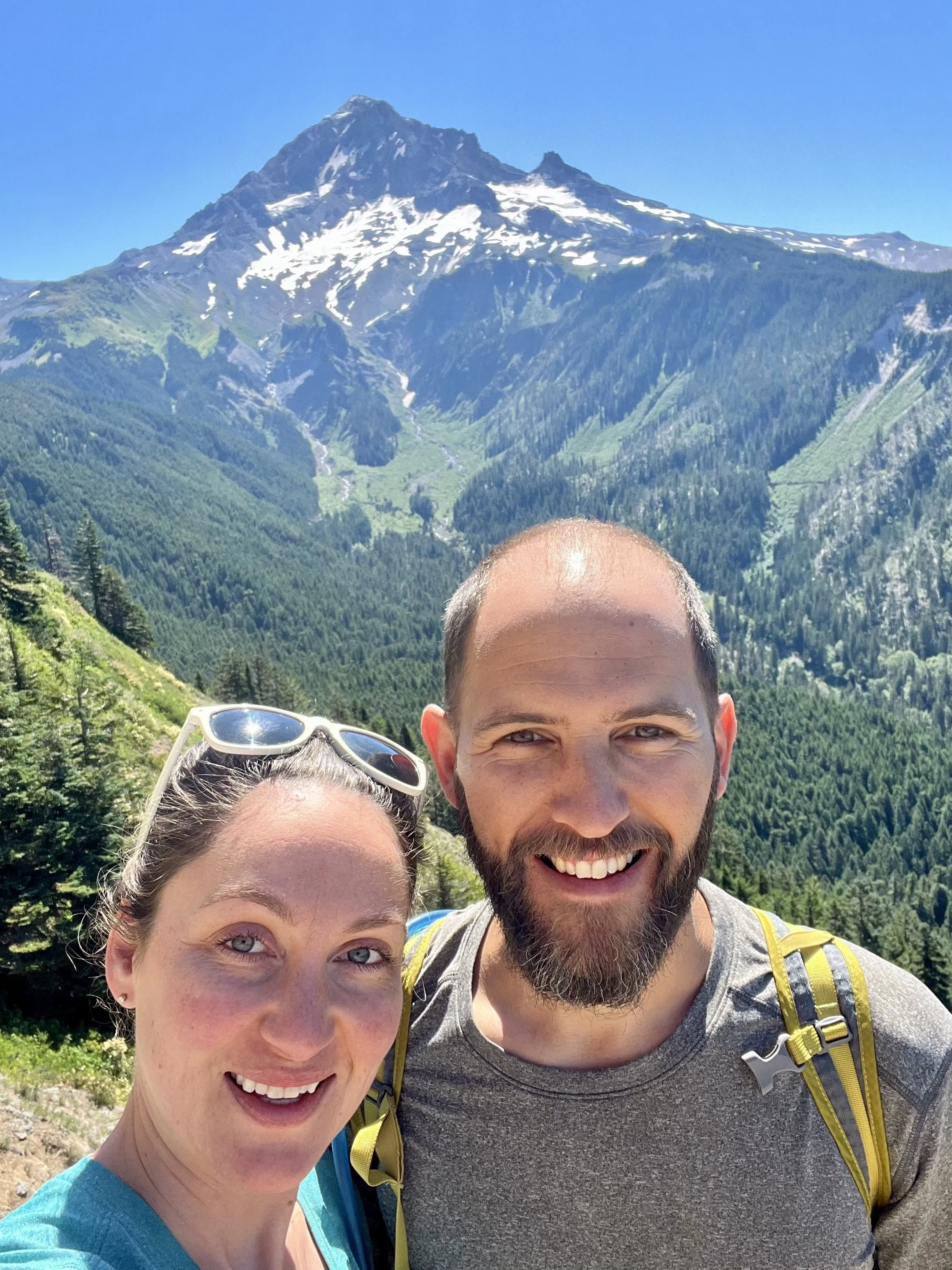
Resting our legs, we looked straight ahead at the massive gendarme Ho Rock and over to the last pieces of the Sandy Glacier Caves on our right. Above it all was the glowing peak of Mount Hood, and we were a couple of specks on the landscape ferociously devouring a meat, cheese, and mustard sandwich with smiles on our faces. Can you see us?